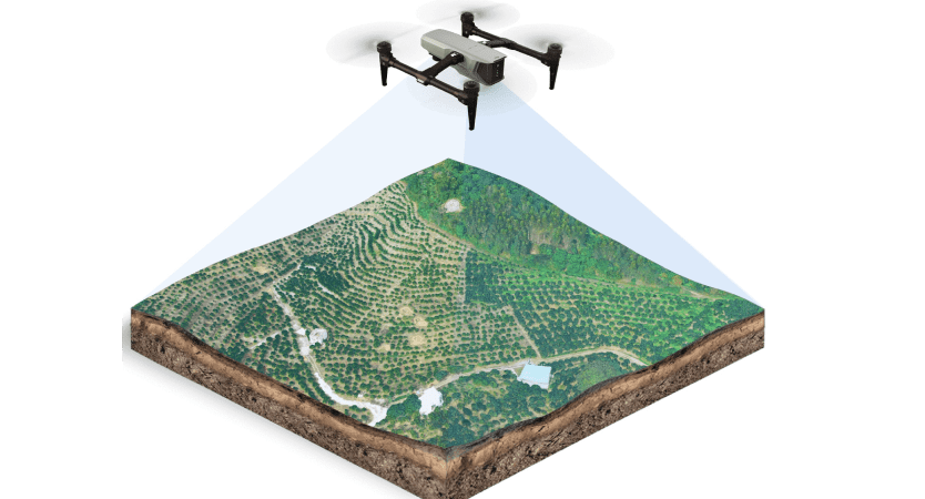
Skymapper Drones is redefining the way industries gather spatial data with the power of drone technology. From large-scale land surveys to detailed topographical mapping, our drone solutions provide unmatched accuracy, efficiency and cost-effectiveness. While traditional land surveying methods can be time-consuming, costly and labour-intensive. Drones offer a faster, safer and more precise alternative. Our drones are equipped with state-of-the-art cameras and sensors to capture high-resolution images, which are processed into actionable data for a variety of applications.
Applications
Topographic Survey
Contour Survey
Smart City Survey
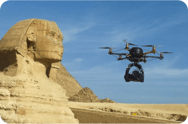
Archaeological Survey
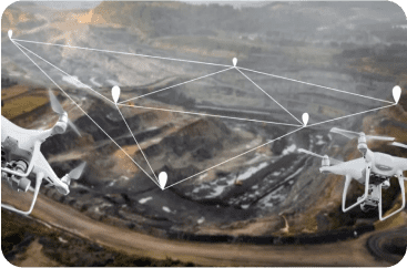
Mining Survey
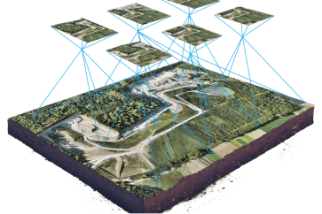
Surveying & Mapping
Outputs
Orthomosaic
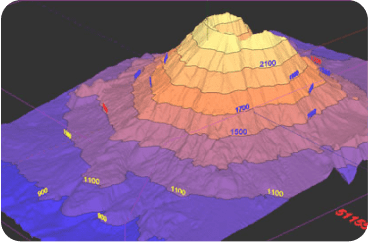
Contour
Digital Elevation Model
Digital Terrain Model
Stockpile Calculation
Cut Fill Analysis
Point Cloud
3D Model
Digitized Maps
Take your vision to new heights and
experience innovation that soars high.